
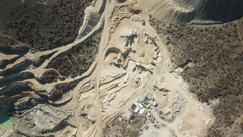
Drones have become one of the fastest-spreading tools in open-pit mining. Data collected in a flight of a few minutes brings measurements that once took survey crews days to the desk. The aerial footage in our site film was also shot by drone.
How does it work?
In photogrammetry, the drone takes hundreds of overlapping photos over the site, and software turns them into a 3D point cloud and surface model. Drones with laser scanners (LiDAR) measure the surface directly. Accuracy is improved with ground control points of known position or precise positioning systems such as RTK.
What is it used for?
- Measuring stockpile volumes without sending anyone onto the pile
- Regularly monitoring bench geometry and slope condition
- Documenting monthly progress and excavation volumes
- Recording the before and after of rehabilitation work
Rules
In Türkiye, drone flights are subject to the rules of the Directorate General of Civil Aviation. Depending on the aircraft and the location, registration, a pilot certificate and flight permission may be required.